

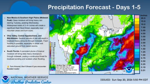
Daily Breakdown
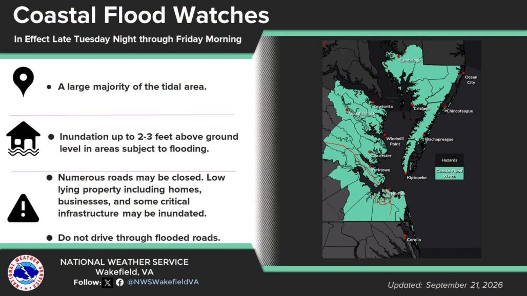
COASTAL FLOOD WATCH IN EFFECT FROM WEDNESDAY EVENING THROUGH LATE THURSDAY NIGHT…
* WHAT…Up to one to two feet of inundation above ground level possible in low-lying areas near shorelines and tidal waterways.
* WHEN…From Wednesday evening through late Thursday night.
* IMPACTS…Numerous roads may be closed. Low lying property including homes, businesses, and some critical infrastructure
may be inundated. Some shoreline erosion may occur.
PRECAUTIONARY/PREPAREDNESS ACTIONS…
If travel is required, allow extra time as some roads may be closed. Do not drive around barricades or through water of unknown depth. Take the necessary actions to protect flood-prone property.
- Tuesday (September 22): Higher chance of steady showers across the region as the low pressure stalls. Cooler with highs near 69°F and breezier northeast winds gusting up to 16 to 20 mph. Overnight lows drop to around 59°F–61°F.
- Wednesday (September 23): Continued unsettled and damp weather with occasional rain showers. Highs struggling around 67°F with persistent northeast winds up to 18 mph. Lows near 59°F.
- Thursday (September 24): Rain tapers off later in the day or early Friday, though cloudy skies and brisk conditions linger. Highs around 66°F and lows dropping to roughly 55°F.
- Friday & Weekend (September 25–27): Conditions gradually improve toward the weekend with decreasing rain chances, returning cloud-to-partier skies, and daytime highs in the upper 60s to near 70°F.

Coastal Impacts
- Winds & Surf: Strong coastal winds gusting past 40 to 45 mph (and higher at ocean beaches) will build through mid-week. Expect rough surf, dangerous rip currents, and deteriorating marine conditions.
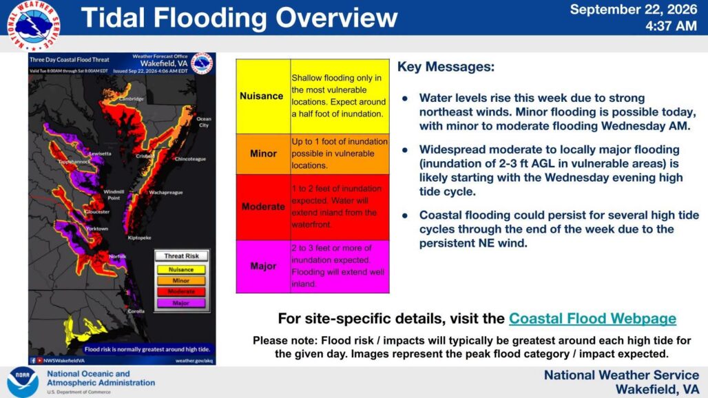
- Coastal Flooding: Ongoing onshore winds combined with approaching king tides from the weekend’s full moon elevate the threat of minor coastal flooding and beach erosion along coastal communities.